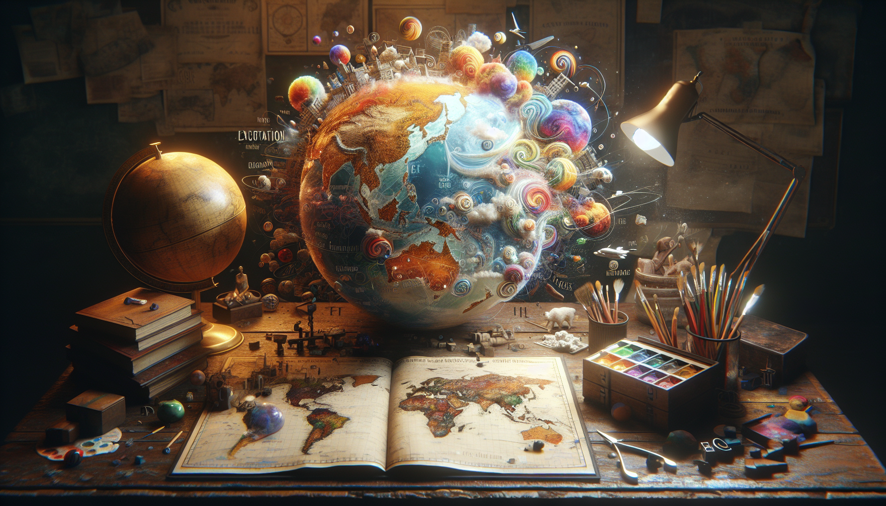
In a world where GPS devices and digital maps have become indispensable tools for navigation, it’s easy to take for granted the accuracy and precision with which they guide us. However, if we journey back in time, we find ourselves amidst a fascinating landscape of cartographic creativity, where maps were not just geographical representations but also storytelling canvases filled with whimsy, errors, and sometimes, outright absurdities. Welcome to the enchanting world of old maps, where dragons roam uncharted territories, continents mysteriously appear and disappear, and the edges of the world are shrouded in mystery. 📜✨
The art of map-making, or cartography, has always been a reflection of the human desire to explore and understand the world. Yet, before the advent of modern technology and precise measurement tools, mapmakers relied heavily on secondhand accounts, speculation, and a fair amount of imagination. This led to a delightful array of cartographic errors that, while incorrect by today’s standards, offer us a captivating glimpse into the minds and lives of those who lived centuries ago. From the mythical Island of California depicted as a separate landmass to the fantastical beasts that were thought to inhabit the unexplored regions of the Earth, each erroneous detail tells a story of adventure, fear, and curiosity.
As we delve deeper into these historical curiosities, we’ll explore some of the most infamous cartographic blunders that have puzzled historians and geographers alike. We’ll uncover the tale of the Phantom Islands, landmasses that were charted and then vanished as explorers failed to find them upon further investigation. We’ll also look into how political agendas and cultural misunderstandings played a role in shaping maps, sometimes leading to laughable yet significant misrepresentations. These errors, while amusing, also serve as poignant reminders of how limited and subjective human knowledge was at the time.
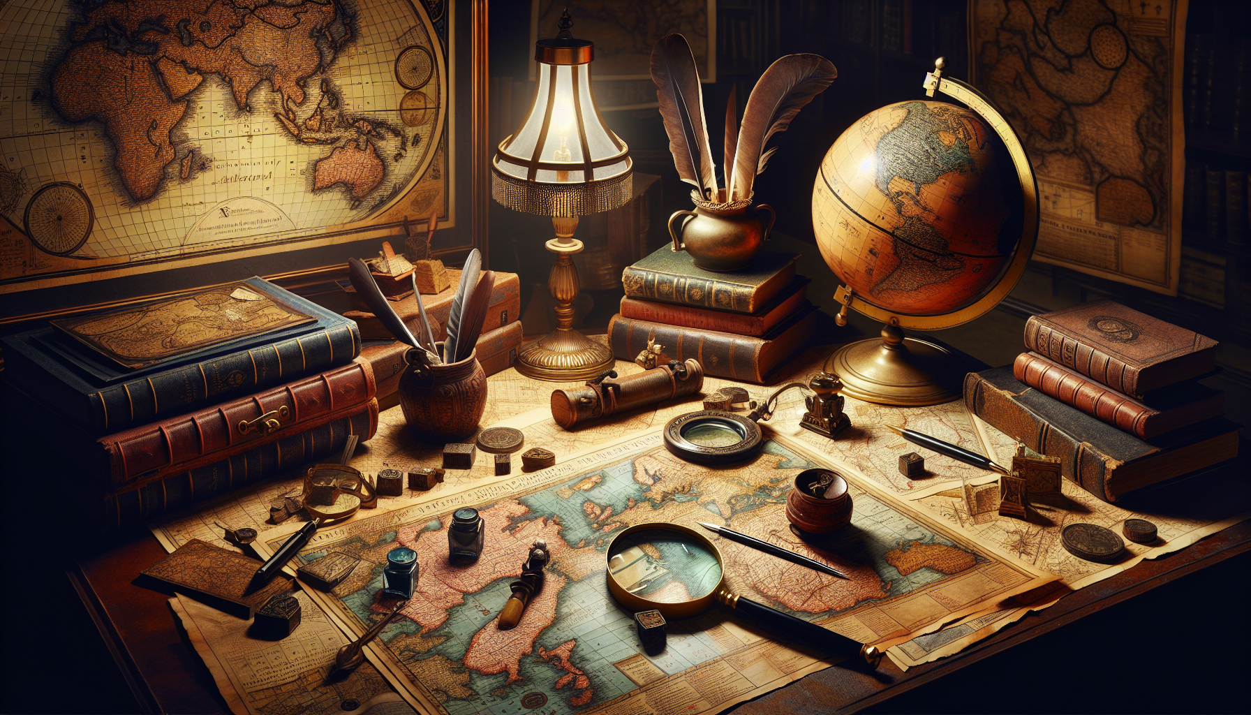
Moreover, these maps are not just relics of geographical mistakes but also artistic masterpieces. The ornate illustrations, often depicting sea monsters, elaborate compass roses, and decorative cartouches, add a layer of beauty and intrigue. They offer insight into the artistic styles and cultural symbols prevalent during the eras in which they were created. We’ll discuss how these artistic elements served not only to embellish but also to communicate information and warnings, blending aesthetics with functionality in a manner that is both clever and charming.
By the end of our journey through these ancient maps, you’ll have gained not only a greater appreciation for the art and science of cartography but also an understanding of the historical context that shaped these fascinating documents. You’ll see how these cartographic errors, while humorous, are valuable historical artifacts that shed light on the evolving understanding of our world. So, fasten your seatbelt and prepare for a voyage through time, where the borders between fact and fiction blur, and the only certainty is the thrill of discovery. Let’s set sail into the whimsical waters of cartographic history! 🌍🗺️
The Intriguing World of Cartography: A Historical Overview
Maps have been an essential tool for navigation and understanding the world for centuries. They represent a unique intersection of art, science, and history, capturing how societies perceived their world at different times. However, the maps from centuries ago are not just historical artifacts; they are a treasure trove of errors and misrepresentations that reveal much about the era’s geographical knowledge—or lack thereof. In “Lost in Cartography: Uncovering the Hilarious Errors of Old Maps and Their Fascinating Glimpse into History,” we explore these fascinating missteps that, while amusing to us today, provide deep insights into historical contexts.
The early cartographers often had to rely on travelers’ accounts and explorers’ tales to create maps, which sometimes resulted in bizarre representations of territories. These inaccuracies were not merely mistakes but reflections of the limitations in communication and technology of those times. The amusing part of these historical documents is not just the errors themselves but the stories they tell about the past’s scientific understanding and cultural perspectives.
Take, for example, the medieval map makers who created fantastical depictions of regions with mythical creatures and exaggerated geographical features. These maps, while incorrect, served as crucial tools for explorers and traders. They also show how knowledge dissemination was subject to interpretation and sometimes, imagination. Join us as we delve deeper into this world where cartography met creativity, yielding maps that are both beautiful and humorously flawed.
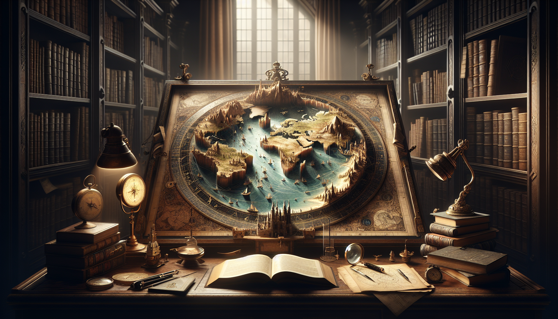
Fantastical Errors and Mythical Creatures
One of the most intriguing aspects of ancient maps is the depiction of mythical creatures and fantastical elements. These representations were more than mere artistic flourishes; they served specific purposes in medieval cartography. In the absence of accurate data, mapmakers often filled the unknown with the fantastical. The bestiary of creatures like sea serpents, giant birds, and hybrid animals reflects the awe and fear of the unknown seas and lands. The era’s best-known maps, like the Hereford Mappa Mundi, are prime examples of this practice.
These maps often doubled as educational tools, teaching viewers about the world’s geography, as understood then, while also imparting moral and religious lessons. The inclusion of monsters and mythical lands not only filled the voids of unexplored territories but also symbolized the dangers of venturing beyond the known world. This practice also highlights the intersection of myth and reality in historical cartography, showcasing how legends and stories were woven into the perceived geography.
Furthermore, these maps were often used as instruments of propaganda, depicting power and territorial claims in a way that favored the mapmaker’s patrons. These inaccuracies were not always accidental; they sometimes served political and religious agendas. Check out the video “Exploring the Medieval Mindset Through Maps” on YouTube, which delves into how these maps reflected contemporary beliefs and politics.
Maps as Political Tools
Maps have always been more than just tools for navigation; they are potent symbols of power and influence. During the Age of Exploration, European powers used maps to assert their dominance over newly discovered lands. This was often done by exaggerating the size and importance of certain regions or by conveniently leaving out rivals’ territories. These maps were not just geographical guides but political instruments designed to legitimize territorial claims and control.
For instance, the famous “Cantino Planisphere,” created in 1502, was one of the first to depict the newfound lands of the Americas. Commissioned by the Portuguese, it served to assert Portugal’s claims under the Treaty of Tordesillas, which divided the New World between Spain and Portugal. Such maps were critical in diplomatic negotiations and were closely guarded state secrets. Understanding the political context of these maps can provide insights into the historical power dynamics and geopolitical strategies of the era.
Today, we view these maps with a sense of irony, as their errors and omissions are glaring. Yet, they remind us of how information can be manipulated to serve certain agendas. For a deeper dive into how maps were used as political tools, watch “Maps as Instruments of Power: The History and Impact” on YouTube.
| Map | Year | Significance | Errors |
|---|---|---|---|
| Hereford Mappa Mundi | 1300 | Medieval worldview | Mythical creatures |
| Cantino Planisphere | 1502 | Portuguese colonial claims | Exaggerated territorial claims |
The Evolution of Mapping Techniques and Their Impact on Accuracy
As we progressed into the Renaissance and beyond, cartography began to transform, becoming more scientific and accurate. The invention of the printing press and advancements in mathematics and astronomy revolutionized map-making, moving it from the realm of art into a more precise science. These changes marked a significant shift in how maps were created and used, impacting not only their accuracy but also their role in society.
The introduction of latitude and longitude, developed by ancient scholars but refined during the Renaissance, allowed for more precise navigation and map-making. This period also saw the creation of more standardized mapping techniques and projections, such as the Mercator projection, which, while distorting size, allowed for accurate sea navigation. These advancements not only improved the accuracy of maps but also facilitated global exploration and trade, accelerating the spread of ideas and cultures.
Moreover, the refinement of navigational instruments, like the sextant and the marine chronometer, played a crucial role in the accuracy of maps. These instruments allowed explorers to determine their exact location at sea, leading to more reliable maps. The video “The Science of Navigation: From Stars to GPS” on YouTube provides an excellent overview of how these advancements revolutionized cartography.
The Role of Cartography in Modern Society
Today, maps are integral to our daily lives, often taken for granted. However, they continue to evolve, now shaped by digital technologies and satellite imagery. Modern cartography is characterized by its precision and accessibility, a far cry from the artistic and often inaccurate maps of the past. Geographic Information Systems (GIS) and remote sensing technologies have enabled the creation of highly detailed and interactive maps, used in fields ranging from urban planning to environmental monitoring.
The impact of these technologies cannot be understated. They have transformed how we interact with and understand our world, providing real-time data and interactive visualizations. This evolution reflects a broader trend towards data-driven decision-making, where accurate geographical information is crucial. The significance of modern cartography is evident in its applications, such as disaster management, where accurate maps can save lives by predicting and visualizing risk areas.
Furthermore, digital maps have democratized access to geographical information, enabling individuals worldwide to access, use, and create maps. This shift has empowered communities, allowing them to represent their own spaces and narratives. Watch “The Future of Cartography: Mapping in the Digital Age” on YouTube to explore how these innovations continue to shape our understanding of the world.
- Discover the intricate details of historical maps.
- Learn how cartography evolved through the centuries.
- Understand the impact of modern mapping technologies.
Conclusion
**Conclusion**
In exploring the amusing inaccuracies of historical cartography, we have journeyed through a fascinating tapestry of human creativity, error, and discovery. Old maps, with their whimsical depictions and sometimes glaring inaccuracies, offer us a unique lens through which to view the past. These maps not only charted territories but also captured the zeitgeist of the eras in which they were crafted, reflecting the cultural, scientific, and political contexts of their creators.
Throughout this article, we delved into the myriad reasons why these cartographic errors occurred. From the limited technological capabilities and lack of comprehensive geographical knowledge to the political and imaginative aspirations of mapmakers, each factor contributed to the colorful tapestry of historical cartography. The errors found on old maps, such as the mythical islands that never existed or the exaggerated landmasses, remind us of a time when the world was still a vast and mysterious place, ripe for exploration and filled with endless possibilities.
Moreover, we examined how these maps were not merely tools for navigation but were also used as instruments of power and persuasion. Rulers and explorers utilized maps to assert dominance over territories, both real and imagined, shaping geopolitical narratives that would influence history in profound ways. This dual role of maps—as tools of both exploration and political propaganda—highlights their multifaceted importance in historical contexts.
The charm of these antiquated maps lies in their imperfections. They serve as a testament to human curiosity and the relentless pursuit of knowledge, even when faced with limited means. Through these artistic depictions of the world, we are reminded of the importance of perseverance and the acceptance of error as a part of the learning process. As we laugh at the inaccuracies of old maps, we also marvel at the spirit of adventure and discovery that they embody.
In a modern context, these historical maps encourage us to reflect on our current understanding of the world. They remind us that while our technology has advanced and our knowledge has expanded, there is always more to learn and discover. As we continue to map the world around us, both literally and figuratively, we should remain open to new perspectives and the inevitable corrections that come with growth and exploration.
Furthermore, the study of old maps offers us an opportunity to appreciate the artistry and craftsmanship involved in their creation. The detailed illustrations, elaborate embellishments, and imaginative representations found in these maps are a testament to the skill and creativity of their makers. In an age where digital maps dominate, the tactile and visual allure of historical cartography offers a nostalgic glimpse into the past.
The humor we find in the mistakes of old maps also serves as a reminder of the joy of discovery. These maps, with their dragons and sea monsters, inspire a sense of wonder and remind us not to take ourselves too seriously. They encourage us to embrace curiosity and maintain a sense of humor, even when faced with the unknown.
As we conclude our exploration of historical cartographic errors, it is crucial to recognize the enduring relevance of these maps in today’s world. They offer valuable lessons in humility, creativity, and the importance of context in understanding our history. By studying these maps, we gain insight into the complexities of human nature and the shared history that connects us all.
We encourage you, dear reader, to continue this journey of discovery. Share these insights with others and consider how they might apply to your own experiences. Explore the historical maps available in online archives and libraries, and allow yourself to be captivated by their stories and secrets. By doing so, you not only preserve the legacy of these remarkable artifacts but also contribute to a broader appreciation of our collective history.
In closing, let us celebrate the imperfect beauty of old maps and the enduring lessons they impart. May they inspire us to approach the world with curiosity, humor, and an open mind. Let us remain vigilant explorers of knowledge, ever ready to chart new territories in our understanding of the world and our place within it.
Thank you for joining us on this cartographic journey. We invite you to share your thoughts and reflections in the comments below. Feel free to share this article with others who might appreciate the humor and history of old maps. Let us continue to learn from the past as we navigate the uncharted territories of the future.
📜🌍
For further reading on historical cartography, consider visiting resources such as the Library of Congress and the British Library’s Online Gallery.
Toni Santos is a digital cartographer, visual thinker, and curator of the wonderfully weird. At Aysapp, he dives into the wild world of bizarre maps, imagined geographies, and alternative cartographic realities, offering a fresh perspective on how we see — and feel — the world around us.
His work is rooted in the belief that maps are more than navigation tools. They’re portals to perception, memory, imagination, and even myth. From distorted historical charts to surreal landforms, conspiracy atlases, and AI-generated worldbuilding, Toni crafts and collects maps that challenge logic and spark curiosity.
With a background in storytelling, art, and symbolic exploration, Toni uses Aysapp as a platform to reveal forgotten places, invisible borders, and reimagined realities. His creations ask questions like: What if the world was upside down? What if maps told emotional truths instead of geographic ones?
As the creator behind Aysapp, he’s on a mission to inspire curiosity, encourage creative thought, and explore the intersection between imagination, culture, and spatial storytelling — one strange map at a time.
🌀 His cartographic universe explores:
-
Unreal but meaningful landscapes
-
Emotion, memory, and myth as geography
-
Maps that distort to reveal hidden truths
Whether you’re a fan of fantasy lands, a map collector, a curious traveler, or someone who loves the unusual, Toni invites you to get lost — on purpose — in the most extraordinary corners of cartographic imagination.