Ads
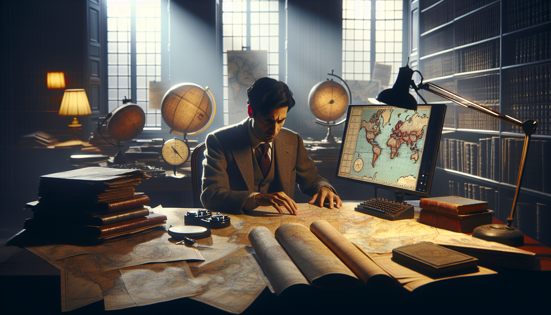
In the vast tapestry of our world, where nations are defined by the intricate lines of geography and politics, there exist boundaries that defy logic and challenge our perceptions of territorial demarcation. Imagine a map where borders zigzag with the whimsicality of a child’s doodle, or where territories overlap in a manner that seems to belong more to the realm of fiction than reality. Welcome to the eccentric world of cartography, where some borders are not merely lines on a map but fascinating stories of history, politics, and human error. In this exploration of the world’s oddest borders, we’ll delve into the peculiarities that make these lines both absurd and intriguing, revealing boundaries that, despite their appearance, exist only on paper yet hold significant implications for those who navigate them. 🌍
Borders, at their core, are meant to delineate, to create order amidst the chaos of land claims and national identity. Yet, throughout history, the drawing of these lines has often been anything but straightforward. Consider, for instance, the curious case of Baarle-Nassau and Baarle-Hertog, a tiny town split between the Netherlands and Belgium, where enclaves and exclaves interlace in a patchwork quilt of national territory. Here, the border is not a single line but a complex network that crisscrosses streets, homes, and even living rooms, leaving residents living in one country while sleeping in another. Such peculiar arrangements not only complicate the notion of national identity but also present unique challenges and opportunities for those living within their bounds.
Ads
As we journey further into this quirky cartographic landscape, we encounter other fascinating examples, such as the infamous India-Bangladesh enclaves, which, until recently, were a geographical conundrum of nested territories — a Russian doll of borders where India surrounded Bangladesh enclaves that, in turn, contained Indian enclaves. The resolution of this border complexity in 2015 brought clarity to thousands of residents who, for decades, lived in limbo, highlighting how the lines on a map can profoundly impact everyday lives. Similarly, in the Middle East, the boundaries drawn by colonial powers have left legacies of conflict and confusion, with borders that often ignore the cultural and ethnic tapestries of the regions they bisect.
Ads
In our exploration of these absurd but real maps, we will uncover the stories behind these unconventional borders, examining how historical treaties, wars, and even simple cartographic errors have led to the creation of these anomalies. We’ll delve into the geopolitical implications of these borders and consider how they affect everything from governance and diplomacy to the daily lives of those who call these regions home. Whether it’s the tale of a cartographer’s slip of the pen or a strategic move by imperial powers, each of these borders offers a glimpse into the complex interplay of history and geography.
So, fasten your seatbelts as we embark on a journey through the world’s most unusual borders. This exploration promises to challenge your understanding of what borders mean and how they shape our world. From the humorous to the tragic, the stories behind these lines on a map reveal the complexities of human society and the enduring power of maps to define, divide, and sometimes, unite. Prepare to be intrigued, amused, and enlightened as we navigate the quirky world of cartography together. 🗺️✨
Introduction to the World’s Oddest Borders
The concept of borders has fascinated humans for centuries, marking territories, defining nations, and shaping identities. However, some borders defy logic and challenge our understanding of cartography. These bizarre lines on maps exist only on paper, yet they carry real-world implications that are both absurd and intriguing. In this exploration, we delve into the quirkiest borders around the globe, revealing stories that are as curious as they are captivating.
Borders are not just lines; they are stories etched in the fabric of geography and politics. Some were drawn hastily during colonial times, while others emerged from peculiar historical circumstances. As you dive into these tales, prepare to question the very essence of what a border means. From enclaves within enclaves to towns split by a line that zigzags through homes and streets, the world of cartography offers a treasure trove of peculiarities.
Understanding these oddities requires a journey through history, politics, and geography. We’ll explore some of the most fascinating examples, providing insights and entertaining anecdotes that highlight the absurdity and ingenuity of human boundary-making. So, sit back, relax, and embark on a journey through the quirky world of borders.
Unusual Borders in Europe: A Patchwork of Peculiarities
Europe, with its rich tapestry of history and cultural diversity, offers a fascinating array of unusual borders. The continent’s intricate past of wars, treaties, and shifting alliances has created a patchwork of boundaries that can be both perplexing and charming. One of the most famous examples is the town of Baarle, which is divided between Belgium and the Netherlands. In Baarle, enclaves and counter-enclaves crisscross the town, leading to a confusing yet intriguing situation where a single house might straddle both countries. To add to the complexity, the nationality of a home is determined by the location of its front door!
Another captivating case is the microstate of Andorra, nestled in the Pyrenees between France and Spain. Despite its small size, Andorra’s status as a co-principality governed by two leaders—one French and one Spanish—adds layers of complexity to its borders. This arrangement stems from a medieval treaty and continues to this day, illustrating how historical quirks can have lasting impacts.
Similarly, the Italian exclave of Campione d’Italia, located within Switzerland, presents another intriguing border anomaly. Although it is part of Italy, Campione uses Swiss currency and follows Swiss laws, highlighting the blurred lines that can exist between national jurisdictions. Such oddities make Europe a fascinating case study for understanding the intricacies of border delineation and the sometimes arbitrary nature of political boundaries.
Comparative Table of European Odd Borders
| Location | Description | Key Feature |
|---|---|---|
| Baarle | Divided town between Belgium and Netherlands | Enclaves and counter-enclaves |
| Andorra | Co-principality between France and Spain | Dual governance |
| Campione d’Italia | Italian exclave within Switzerland | Uses Swiss currency |
The Enclaves of South Asia: A Legacy of Colonialism
South Asia is home to some of the most complex border situations in the world, largely as a result of its colonial history. The Radcliffe Line, drawn hastily in 1947 during the partition of India and Pakistan, created numerous enclaves along the India-Bangladesh border. These enclaves, or “chhitmahals,” became a curious geographical phenomenon where a small piece of one country was entirely surrounded by another.
Until 2015, there were 162 such enclaves between India and Bangladesh, with residents living in legal limbo, often lacking access to basic services and governance. The 2015 Land Boundary Agreement resolved much of this complexity, exchanging land and simplifying borders, but the legacy of these enclaves remains a testament to the arbitrary nature of colonial border-drawing.
Further south, the India-Bhutan border offers another interesting case. Unlike many international borders marked by fences and guards, this one is notably open, reflecting the friendly relations between the two countries. However, the presence of the Indian military in Bhutan, due to strategic concerns, adds a layer of complexity that showcases the unique geopolitical dynamics in the region.
Video Exploration: The Enclaves of South Asia
To dive deeper into the fascinating world of South Asian enclaves, watch the video “South Asia’s Enclaves: A Legacy of Colonialism” on the Geography Now channel. [Link to video]
African Borders: Lines in the Sand
Africa’s borders, many of which were drawn during the Berlin Conference of 1884-1885, are a testament to the arbitrary nature of colonial map-making. These lines were often drawn with little regard for ethnic, linguistic, or cultural boundaries, leading to numerous conflicts and complexities that persist to this day. One of the most striking examples is the Caprivi Strip in Namibia, a narrow protrusion that was created to give German South West Africa access to the Zambezi River.
The Caprivi Strip is not just a geographical oddity; it is a region of strategic importance and biodiversity, home to numerous wildlife species and a crossroads of cultural influences. Its creation exemplifies how colonial ambitions often overlooked the realities of the terrain and the people living there.
Another interesting case is the Hala’ib Triangle, a disputed area between Egypt and Sudan. Both countries claim sovereignty over this region, leading to tensions and a complex situation on the ground. The Hala’ib Triangle is rich in resources and strategically located, making it a significant point of contention.
These examples illustrate how Africa’s borders continue to shape the continent’s geopolitical landscape, influencing everything from resource distribution to ethnic tensions.
Comparative Table of African Odd Borders
| Location | Description | Key Feature |
|---|---|---|
| Caprivi Strip | Narrow protrusion in Namibia | Access to Zambezi River |
| Hala’ib Triangle | Disputed area between Egypt and Sudan | Rich in resources |
Oceania’s Puzzling Borders: Islands and More
Oceania, a region of islands scattered across the vast Pacific Ocean, presents a different kind of border complexity. Here, the challenges are not so much about lines on a map but about maritime boundaries and exclusive economic zones. The intricate web of islands and atolls creates a mosaic of jurisdictions that can be difficult to navigate.
One of the most intriguing examples is the boundary between the United States and Russia in the Bering Strait. The Diomede Islands, located in the middle of the strait, are split between the two nations, with Big Diomede belonging to Russia and Little Diomede to the United States. The International Date Line runs between them, meaning that despite being only about 4 kilometers apart, the islands are almost a day apart in time.
In another part of Oceania, the border between Papua New Guinea and Indonesia on the island of New Guinea presents a complex picture of political and cultural division. The border is not only a line separating two countries but also a demarcation between vastly different cultures and ecosystems. The rugged terrain and dense forests add to the complexity, making it one of the most challenging borders to manage.
Comparative Table of Oceania’s Odd Borders
| Location | Description | Key Feature |
|---|---|---|
| Diomede Islands | Split between US and Russia | International Date Line |
| Papua New Guinea-Indonesia | Complex cultural and ecological border | Rugged terrain |
Conclusion of Our Journey
As we explore the world’s oddest borders, it’s clear that these lines on maps are much more than mere geographical demarcations. They are reflections of history, politics, and culture, each telling a story of human endeavor and folly. Whether born out of colonial ambition, geopolitical necessity, or sheer accident, these borders challenge our understanding of nations and territories. As you reflect on these peculiarities, consider how they shape our world in unexpected ways.
For those eager to explore further, consider researching more about your own country’s borders and the stories they tell. You might be surprised by the quirks and complexities that exist in your own backyard. 🌍✈️
Conclusion
In conclusion, the exploration of the world’s oddest borders offers a fascinating journey through the quirks of cartography and geopolitics. Throughout this article, we have delved into the peculiarities that define certain international boundaries, highlighting how these demarcations, while seemingly absurd, carry historical, cultural, and political significance. These borders, which sometimes exist only on paper, challenge our conventional understanding of geography and sovereignty, inviting us to reconsider the complexity of nationhood and territoriality.
One of the key points discussed is the historical context that leads to such peculiar borders. Many of these boundaries are remnants of colonialism, treaties, and historical conflicts that have left a lasting imprint on modern maps. For instance, the intricate boundaries of Baarle-Hertog and Baarle-Nassau in Belgium and the Netherlands are the result of medieval treaties and land exchanges that continue to perplex residents and visitors alike. Such cases exemplify how historical events shape contemporary borders, often leading to bizarre and unexpected geographical configurations.
Moreover, we explored how these borders impact the daily lives of those who live along them. In many cases, the residents have adapted to these peculiarities, turning them into unique aspects of their local identity. The dual town of Baarle, for example, thrives on its complex borders, using them as a tourist attraction and a testament to peaceful coexistence despite intricate demarcations. This adaptability underscores the resilience and creativity of communities that navigate the challenges posed by unusual borders.
We also examined how these odd borders influence political relations and international diplomacy. In some instances, disputed territories and ambiguous boundaries have led to tensions and conflicts, while in others, they have fostered collaboration and dialogue. The Siachen Glacier, a contested region between India and Pakistan, illustrates the potential for conflict arising from ambiguous borders, emphasizing the need for diplomatic engagement and conflict resolution. Conversely, the peaceful management of enclaves and exclaves, such as those between India and Bangladesh, demonstrates how dialogue and cooperation can overcome geographical complexities.
The significance of understanding these borders extends beyond mere curiosity; it offers valuable insights into the broader themes of identity, sovereignty, and globalization. In an increasingly interconnected world, the study of borders, even those that seem absurd, provides a lens through which we can examine the fluidity of national and cultural identities. As global challenges such as migration, trade, and environmental issues transcend traditional boundaries, appreciating the nuances of cartography becomes ever more relevant.
We encourage you, the reader, to reflect on the borders in your own life—both literal and metaphorical—and consider how they shape your perceptions and interactions with the world. The study of these odd borders not only enhances our understanding of geography but also prompts us to question the arbitrary lines that divide us. By sharing this knowledge and engaging in discussions, we can foster a more nuanced appreciation of the diverse and interconnected world we inhabit.
Finally, we invite you to share your thoughts and experiences related to borders, whether physical or conceptual, in the comments section below. Your insights and stories enrich the conversation and contribute to a broader understanding of the complexities and curiosities that define our world. Feel free to share this article with others who might find these quirky maps as intriguing as we do, and let’s continue exploring the fascinating world of cartography together.
For further reading and exploration, consider these active resources:
1. [The International Boundaries Research Unit at Durham University](https://www.dur.ac.uk/ibru) – A leading authority on boundary and territorial dispute resolution.
2. [The Library of Congress Geography and Map Division](https://www.loc.gov/rr/geogmap/) – Offers extensive collections and resources related to maps and cartography.
3. [National Geographic: Mapping](https://www.nationalgeographic.com/maps) – Provides insights into the history and science of mapping and borders.
In conclusion, the peculiar world of borders serves as a reminder of the intricate tapestry of human history, culture, and politics. Let’s embrace the curiosity it sparks and the conversations it ignites, for it is through understanding these quirks that we can better appreciate the rich complexity of our world. 🌍✈️
Toni Santos is a digital cartographer, visual thinker, and curator of the wonderfully weird. At Aysapp, he dives into the wild world of bizarre maps, imagined geographies, and alternative cartographic realities, offering a fresh perspective on how we see — and feel — the world around us.
His work is rooted in the belief that maps are more than navigation tools. They're portals to perception, memory, imagination, and even myth. From distorted historical charts to surreal landforms, conspiracy atlases, and AI-generated worldbuilding, Toni crafts and collects maps that challenge logic and spark curiosity.
With a background in storytelling, art, and symbolic exploration, Toni uses Aysapp as a platform to reveal forgotten places, invisible borders, and reimagined realities. His creations ask questions like: What if the world was upside down? What if maps told emotional truths instead of geographic ones?
As the creator behind Aysapp, he's on a mission to inspire curiosity, encourage creative thought, and explore the intersection between imagination, culture, and spatial storytelling — one strange map at a time.
🌀 His cartographic universe explores:
-
Unreal but meaningful landscapes
-
Emotion, memory, and myth as geography
-
Maps that distort to reveal hidden truths
Whether you're a fan of fantasy lands, a map collector, a curious traveler, or someone who loves the unusual, Toni invites you to get lost — on purpose — in the most extraordinary corners of cartographic imagination.