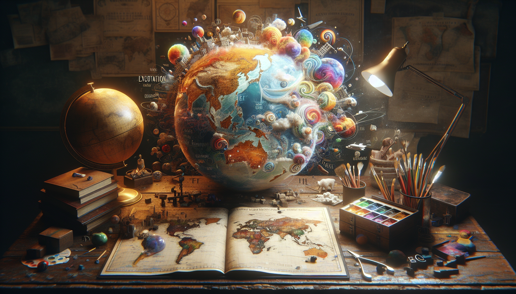
In a world increasingly driven by technology and information, maps have become essential tools for navigating the complexities of our global landscape. From GPS apps on our smartphones to intricate geographic information systems used by professionals, maps are everywhere, guiding us in our daily lives and beyond. But what happens when these tools, designed to clarify and direct, oversimplify and mislead instead? 🌍 This article delves into the hidden dangers of oversimplified maps—those that strip away vital context and nuance, leading to misunderstandings, miscalculations, and sometimes even perilous outcomes. Whether in the context of environmental conservation, urban planning, or geopolitical strategies, the consequences of relying on these overly simplistic representations can be far-reaching and profound.
At the heart of this issue lies a fundamental tension between accessibility and accuracy. Maps are, by necessity, abstractions; they condense complex data into a format that is easily digestible. However, this process of simplification can often omit critical details, leading to a distorted view of reality. For instance, when environmental maps reduce intricate ecosystems into broad, color-coded zones, the delicate interdependencies that sustain biodiversity might be overlooked, resulting in misguided conservation efforts. Similarly, in urban planning, maps that fail to capture the nuanced socio-economic landscapes of neighborhoods can lead to developments that exacerbate existing inequalities or disrupt community networks. In the realm of geopolitics, oversimplified maps can fuel territorial disputes or misinform diplomatic strategies by failing to account for the full historical and cultural dimensions of a region. 🗺️
Throughout this article, we will explore various case studies and expert insights that highlight the dangers of oversimplified maps. We will examine the psychological appeal of simplicity and why it is so tempting to embrace these streamlined versions of reality, despite their flaws. Moreover, we will discuss the ethical responsibilities of cartographers and technologists in creating maps that balance clarity with complexity. By understanding these dynamics, we can become more discerning map users, capable of recognizing when simplicity has been taken too far. As we navigate through the intricacies of cartographic representation, our goal is to equip you with the tools to critically assess the maps you encounter, ensuring that they serve as reliable guides rather than misleading illusions. Join us on this journey to uncover the unseen layers of the maps we trust, and learn how to discern the truth that lies beneath their surfaces. 🧭
The Importance of Accurate Maps
Maps have always been a critical tool for navigation, helping people understand and traverse the world around them. From ancient times, when explorers relied on rudimentary drawings to chart unknown territories, to today’s digital age, where GPS technology provides real-time guidance, maps have played a crucial role in shaping human civilization. However, with the evolution of mapping technology, there’s an increasing danger posed by oversimplified maps, which can lead to misinformation and misinterpretation.
In our fast-paced world, where efficiency and speed are often prioritized, the allure of a simple map is undeniable. Yet, the trade-off between simplicity and accuracy can sometimes have dire consequences. Oversimplified maps can omit critical details such as terrain types, elevation changes, and landmarks, which are essential for comprehensive navigation. For example, a hiker relying solely on a simplified map might find themselves unprepared for a sudden elevation change, leading to dangerous situations in unfamiliar terrain.
Beyond physical navigation, maps also play a vital role in shaping perceptions and understanding of geopolitical issues. Oversimplified political maps, for instance, can misrepresent territorial boundaries or ignore contested regions, thereby influencing public opinion and policy decisions. This is particularly concerning in conflict zones, where the misrepresentation of borders can exacerbate tensions. Therefore, understanding the full scope and limitations of a map is crucial for both personal navigation and broader geopolitical awareness.
How Simplification Impacts Perception
The simplification of maps is often a necessity due to the constraints of various media formats. Whether in print or digital form, space limitations often mean that mapmakers must make choices about which details to include and which to omit. However, this simplification process can skew the perception of distance, size, and significance of different geographical features. For example, the Mercator projection, commonly used in many world maps, famously distorts the size of landmasses closer to the poles, making Greenland appear comparable in size to Africa, when in reality, Africa is over 14 times larger.
This distortion is not just a matter of aesthetics; it can shape how individuals perceive the importance and relevance of different regions. In educational settings, students who regularly see such projections may develop a skewed understanding of global geography, underestimating the size and significance of continents like Africa and South America. This can have far-reaching implications in terms of cultural awareness and international relations, as regions that appear smaller or less significant on maps might also be perceived as less important in a global context.
Moreover, maps are not just geographical tools but also cultural artifacts that reflect the priorities and biases of their creators. The choices made in simplifying a map can reveal much about the worldview and agenda of the mapmaker, whether intentional or not. As such, consumers of maps must be aware of these potential biases and strive to seek out multiple sources and perspectives when interpreting map data.
The Science Behind Map-Making
The art and science of map-making, or cartography, involves a delicate balance between accuracy, readability, and usability. Cartographers must consider a multitude of factors, including scale, projection, and detail level, to create maps that serve specific purposes. The choice of projection, in particular, is a critical decision that affects how the three-dimensional surface of the Earth is represented on a two-dimensional plane. Each projection has its own set of trade-offs, with some preserving area, others preserving shape, and still others preserving direction.
To understand these trade-offs, let’s explore a few common map projections:
| Projection | Characteristics | Uses |
|---|---|---|
| Mercator | Preserves angles, distorts area | Nautical navigation |
| Gall-Peters | Preserves area, distorts shape | World maps to represent true size |
| Robinson | Compromise between size and shape | General-purpose world maps |
Assista ao vídeo abaixo para uma explicação mais visual sobre como diferentes projeções podem afetar a percepção dos mapas: “How Maps Tell Us a New Story of Geography” by Vox.
The scale of a map is another crucial factor, determining the level of detail that can be represented. Large-scale maps, such as those used for city planning, show detailed features and street-level information but cover smaller areas. In contrast, small-scale maps, like those found in atlases, cover large areas with less detail. Cartographers must decide the appropriate scale based on the map’s intended use, balancing the need for detail with the constraints of the medium.
Additionally, the level of detail included in a map is often a reflection of its purpose. For instance, topographic maps used by hikers and geologists need to include detailed information about terrain, elevation, and natural features, while road maps focus on transportation routes and urban infrastructure. Understanding the purpose behind a map can help users better interpret its content and avoid misinterpretations that arise from oversimplification.
Technology and the Future of Cartography
With advancements in technology, the field of cartography has undergone significant transformations. Geographic Information Systems (GIS) and remote sensing technologies have revolutionized how maps are created, allowing for unprecedented levels of accuracy and detail. These technologies enable cartographers to gather and analyze vast amounts of geographical data, creating maps that are dynamic and interactive, rather than static and one-dimensional.
However, while technology has enhanced the capabilities of map-making, it also presents new challenges. The sheer volume of data available can be overwhelming, and the temptation to oversimplify this data for ease of use remains a constant concern. As digital maps become increasingly prevalent, the risk of relying on incomplete or oversimplified representations grows, making it essential for users to approach digital maps with a critical eye.
Moreover, the rise of digital maps has democratized map-making, allowing individuals and organizations to create and share their own maps. While this has led to greater diversity in mapping perspectives, it also raises questions about the credibility and reliability of user-generated maps. Users must be diligent in verifying the sources of digital maps and consider the potential biases and limitations inherent in their creation.
The Impact of Maps on Society
Maps are not just tools for navigation; they are powerful instruments that shape societal perceptions and influence decision-making processes. From urban planning to environmental conservation, maps play a critical role in various aspects of society. However, the impact of oversimplified maps can have significant consequences, affecting everything from public policy to personal safety.
In urban planning, for instance, maps are used to guide the development of infrastructure and services. Simplified maps that fail to account for demographic changes or environmental factors can lead to inadequate or misplaced resources, exacerbating issues such as traffic congestion and urban sprawl. Similarly, in environmental conservation, oversimplified maps may overlook critical habitats or underestimate the impact of human activity on ecosystems, leading to ineffective conservation efforts.
Moreover, the influence of maps extends to the realm of politics and international relations. Maps are often used as tools for propaganda, shaping public perception and policy by emphasizing or downplaying certain geographical features. The omission or distortion of information on political maps can have significant implications, influencing everything from electoral boundaries to territorial disputes. This underscores the importance of critically evaluating maps and seeking out multiple perspectives to gain a comprehensive understanding of geopolitical issues.
Maps as Tools for Advocacy and Change
Despite the potential dangers of oversimplification, maps also have the power to drive positive change and advocacy. By highlighting underrepresented regions or issues, maps can raise awareness and galvanize action on critical social and environmental challenges. For example, interactive maps that track deforestation or pollution levels can mobilize public support for conservation efforts and hold governments and corporations accountable for their environmental impact.
Similarly, maps can be used to advocate for social justice, shedding light on issues such as racial segregation, economic inequality, and access to essential services. By visualizing data on maps, activists and organizations can make complex issues more accessible and compelling, driving policy change and public engagement.
As such, the potential of maps to influence society is immense, underscoring the need for responsible and thoughtful map-making. By balancing simplicity with accuracy and considering the broader implications of map design, cartographers can create maps that inform, inspire, and drive meaningful change.
Conclusion: Navigating the Future of Cartography
Navigating Deception: The Danger of Oversimplified Maps
In this article, we explored the intricate world of maps and how their simplifications can sometimes lead us astray. We delved into the historical context of cartography and examined how maps have been used as tools not only for navigation but also for communication and influence. From ancient times to modern digital maps, the evolution of map-making has been driven by the need to represent complex geographical realities in an accessible manner. However, as we have seen, this necessary simplification can often result in misleading representations.
One of the key points we discussed is the inherent challenge in balancing detail with usability. Maps are essential tools for understanding spatial relationships and making decisions based on geographic information. Yet, when details are omitted or generalized, the maps can present a skewed perception of reality. This can have serious implications, particularly in fields such as urban planning, disaster response, and environmental conservation. Maps that lack accuracy can lead to misinformed decisions, which can further impact societies and ecosystems.
We also touched upon the psychological impact of maps on users. People tend to trust maps as authoritative sources of information, often without questioning the underlying assumptions or the data on which they are based. This blind trust can be dangerous, particularly when maps are used to convey political or ideological messages. By simplifying complex situations, maps can be used to influence public opinion and policy in ways that may not reflect the actual circumstances.
Furthermore, we discussed the role of technology in shaping modern cartography. With the advent of digital mapping tools and Geographic Information Systems (GIS), the potential for creating highly detailed and interactive maps has increased dramatically. However, the ease with which these tools can be used to create visually appealing yet potentially misleading maps is also a concern. The digital age has democratized map-making, but it has also raised questions about data integrity and the ethics of map representation.
In light of these discussions, it is clear that maps are more than just tools for navigation; they are powerful instruments that shape our understanding of the world. It is crucial for map users to develop a critical mindset when interpreting maps. Always consider the source of the map, the data it is based on, and the intentions behind its creation. Maps are not just representations of space; they are narratives that can be used to inform or deceive.
The importance of promoting map literacy cannot be overstated. Educators, policymakers, and map enthusiasts should advocate for greater awareness of how maps are made and interpreted. Encouraging critical thinking about maps can empower individuals to question and analyze the information presented to them, leading to more informed decision-making.
In conclusion, while maps are invaluable tools, they come with their own set of challenges and responsibilities. As we navigate an increasingly complex world, it is essential to remain vigilant about the information we consume and the sources from which it originates. By fostering a deeper understanding of maps and their limitations, we can better equip ourselves to make decisions that are informed, ethical, and beneficial to society.
We invite you to reflect on the maps you encounter in your daily life. Are they as accurate and unbiased as they appear? Consider sharing this article with your network to spread awareness about the potential pitfalls of oversimplified maps. Engage in discussions about the role of maps in shaping our perceptions and policies. By doing so, you contribute to a more informed and map-literate society.
For those interested in diving deeper into the subject, we recommend exploring resources from reputable institutions such as the International Cartographic Association (https://icaci.org/) and the National Geographic Society (https://www.nationalgeographic.org/). These organizations offer a wealth of information on map-making and its implications for our world.
Thank you for joining us on this exploration of maps and their hidden complexities. Together, let’s navigate towards a future where maps inform rather than mislead, and where every journey is guided by both insight and integrity. 🌍📍
Toni Santos is a digital cartographer, visual thinker, and curator of the wonderfully weird. At Aysapp, he dives into the wild world of bizarre maps, imagined geographies, and alternative cartographic realities, offering a fresh perspective on how we see — and feel — the world around us.
His work is rooted in the belief that maps are more than navigation tools. They're portals to perception, memory, imagination, and even myth. From distorted historical charts to surreal landforms, conspiracy atlases, and AI-generated worldbuilding, Toni crafts and collects maps that challenge logic and spark curiosity.
With a background in storytelling, art, and symbolic exploration, Toni uses Aysapp as a platform to reveal forgotten places, invisible borders, and reimagined realities. His creations ask questions like: What if the world was upside down? What if maps told emotional truths instead of geographic ones?
As the creator behind Aysapp, he's on a mission to inspire curiosity, encourage creative thought, and explore the intersection between imagination, culture, and spatial storytelling — one strange map at a time.
🌀 His cartographic universe explores:
-
Unreal but meaningful landscapes
-
Emotion, memory, and myth as geography
-
Maps that distort to reveal hidden truths
Whether you're a fan of fantasy lands, a map collector, a curious traveler, or someone who loves the unusual, Toni invites you to get lost — on purpose — in the most extraordinary corners of cartographic imagination.