광고
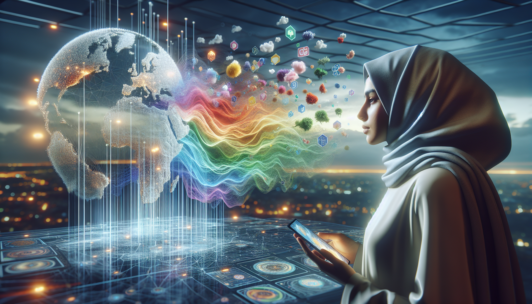
In the ever-evolving landscape of political discourse, where narratives are crafted and opinions are swayed, one might not immediately consider the map—a seemingly objective representation of geography—as a tool of persuasion. Yet, throughout history, maps have been wielded not only as instruments of navigation but also as powerful devices of propaganda. These maps transcend their geographic function, morphing into potent symbols that can influence perceptions, galvanize movements, and shape political agendas. 🌍
광고
The art and science of cartography, while grounded in precision, offers ample space for creativity, and it is within this intersection that propaganda maps find their footing. They are meticulously designed to convey messages that resonate on both conscious and subconscious levels. By selectively emphasizing certain features or altering proportions, mapmakers can manipulate viewers’ perceptions of distance, importance, and threat. A border might be exaggerated to heighten a sense of nationalism, or a territory could be minimized to downplay its significance. Through these subtle visual cues, maps can serve as quiet architects of ideology, steering public sentiment and policy decisions.
광고
This blog delves into the fascinating realm of propaganda maps, exploring how they have been used across different eras and political contexts to advance specific agendas. We will journey through time, examining historical instances where maps played pivotal roles in shaping public consciousness. From the expansionist maps of imperial powers that depicted colonies as vast and bountiful to Cold War-era maps that underscored ideological divides with stark clarity, the strategic use of cartography is both varied and profound.
In addition to historical perspectives, we will also look at the modern manifestations of propaganda maps, particularly in the digital age, where information spreads with unprecedented speed. The internet and social media platforms have democratized map-making, allowing anyone with access to technology to create and disseminate maps with particular biases. This democratization, while empowering, also presents challenges, as it becomes increasingly difficult to discern objective truth from skewed representation. The blog will explore how contemporary cartographers and data analysts work to maintain integrity in their craft while navigating this complex landscape.
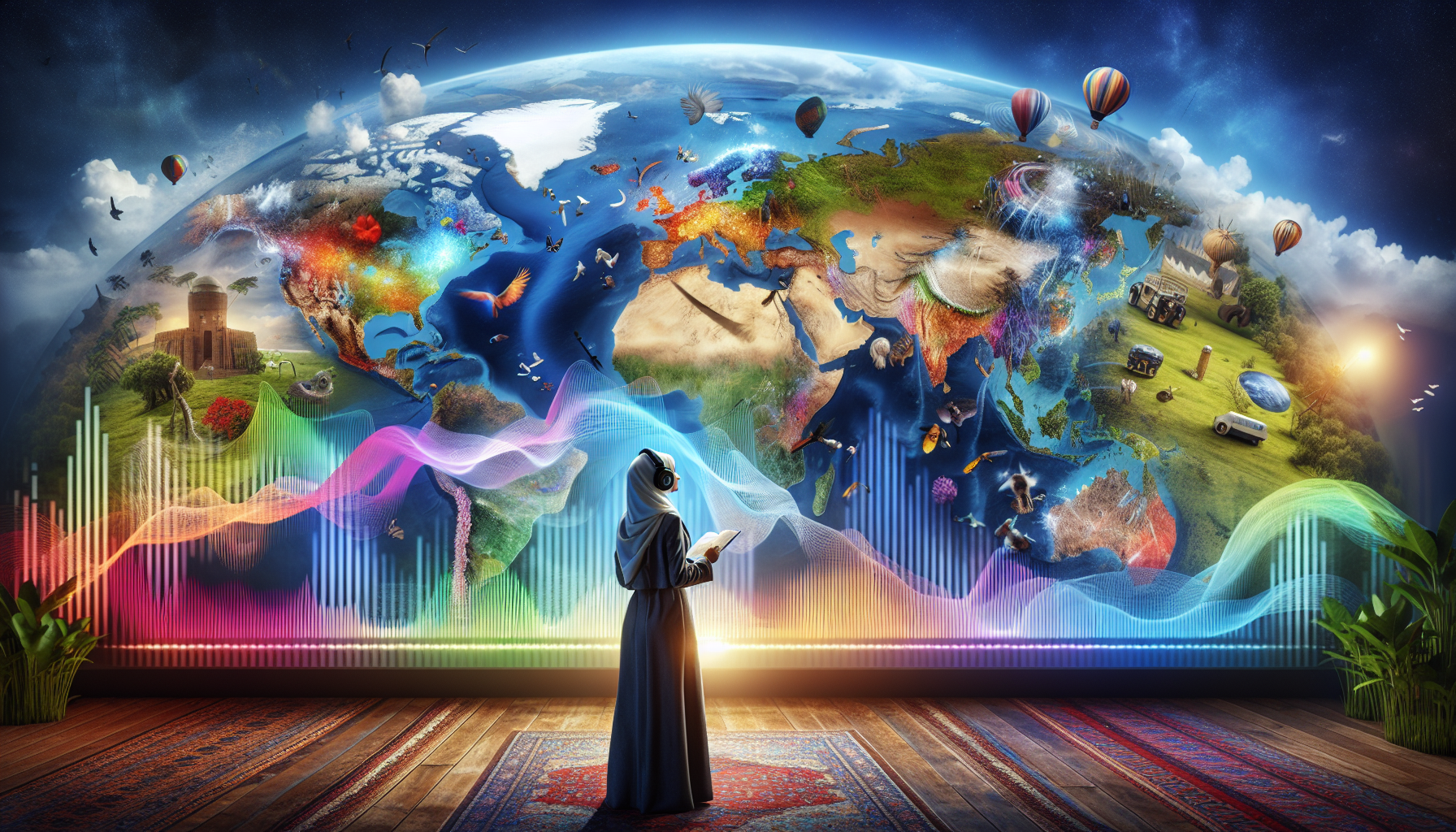
As we navigate this intricate topic, we will consider the ethical implications of propaganda maps and the responsibility of both creators and consumers to critically evaluate the visual information presented to them. In a world where visuals often speak louder than words, understanding the subtle power of maps can equip us with the tools to better navigate the political terrain, recognizing when a map is a reflection of reality and when it is a crafted instrument of influence. 🗺️
The Historical Roots of Propaganda Maps
Propaganda maps have been pivotal in shaping political narratives and perceptions throughout history. These maps are not mere geographical representations; they are tools of influence, designed to convey specific messages and manipulate public opinion. To understand their impact, it’s essential to explore the historical context in which they emerged. From ancient civilizations to modern times, maps have been employed by leaders and governments to assert dominance, justify territorial claims, and rally support for various causes.
In ancient times, maps were often commissioned by rulers to depict their empires in a favorable light. The Greeks and Romans, for instance, used cartography to emphasize the vastness and superiority of their territories. These early maps were not intended for navigation; instead, they served as symbols of power and control. During the Age of Exploration, European powers utilized maps to legitimize their conquests and colonial ambitions. By exaggerating the size of their claims or diminishing those of rival nations, they sought to influence both domestic and international audiences.
The advent of the printing press in the 15th century revolutionized mapmaking and dissemination. Maps became more accessible to the general public, amplifying their potential as propaganda tools. As nations vied for supremacy, maps were employed to depict enemy territories as threats, often using exaggerated symbols and ominous colors. During the World Wars, propaganda maps were widely used by both the Allies and the Axis powers to galvanize public support and justify military actions. These maps emphasized enemy encroachments, highlighted strategic victories, and rallied nationalistic fervor.
Key Historical Examples
Several historical examples illustrate the power of propaganda maps in shaping political agendas. During the Napoleonic Wars, British cartographers produced maps that portrayed Napoleon’s empire as a menacing octopus, its tentacles reaching across Europe. This imagery effectively conveyed the threat of Napoleonic expansion and garnered support for Britain’s military efforts. Similarly, in the early 20th century, German maps depicted the encirclement of Germany by hostile powers, reinforcing the narrative of a nation under siege and justifying aggressive foreign policies.
In the modern era, propaganda maps continue to play a significant role in geopolitical conflicts. The Cold War saw the proliferation of maps depicting the ideological divide between the Eastern and Western blocs. These maps emphasized the spread of communism or capitalism, depending on the perspective, and fueled the rhetoric of the era. In recent times, the Israeli-Palestinian conflict has seen the use of maps to assert territorial claims and influence international opinion. Both sides have produced maps highlighting historical claims and current realities, seeking to sway public perception and diplomatic negotiations.
Analyzing the Techniques Used in Propaganda Maps
Propaganda maps employ a range of techniques to convey their messages effectively. Understanding these techniques is crucial for deciphering the underlying agendas and biases present in such maps. One common technique is the selective use of scale and distortion. By exaggerating the size of certain regions or diminishing others, cartographers can emphasize perceived threats or highlight territorial claims. This manipulation of scale is often accompanied by the strategic use of color to evoke emotions and create associations.
Symbolism is another powerful tool in propaganda maps. Cartographers often employ symbols to represent nations, ideologies, or threats. These symbols can be used to dehumanize opponents, exaggerate dangers, or romanticize certain causes. For instance, during World War II, Nazi Germany used maps featuring monstrous depictions of Jews to propagate anti-Semitic narratives. The use of arrows, lines, and other graphic elements can also convey movement, encroachment, or alliances, further shaping the viewer’s perception.
Language and labeling play a crucial role in shaping the narrative of propaganda maps. The choice of words used to describe regions, events, or actors can significantly influence how the map is interpreted. Loaded terms, such as “liberation,” “occupation,” or “invasion,” can frame the narrative in a particular light. Additionally, the inclusion or omission of certain labels can create biases and reinforce specific viewpoints. This manipulation of language is often subtle yet highly effective in guiding public perception.
Comparative Analysis of Propaganda Maps
To illustrate the diverse techniques used in propaganda maps, consider the following comparative table. It highlights key characteristics and strategies employed in different historical and contemporary maps:
| 지도 | Time Period | Technique | Objective |
|---|---|---|---|
| British Napoleonic Maps | Early 19th Century | Symbolism (Octopus) | Depict Napoleonic expansion as a threat |
| Cold War Era Maps | Mid-20th Century | Color and Scale Manipulation | Highlight ideological divide |
| Israeli-Palestinian Conflict Maps | Contemporary | Selective Labeling | Assert territorial claims |
For a deeper understanding of how these techniques are employed, watch the video “How Maps Can Lie” by Vox on YouTube. It provides insightful examples of map distortion and manipulation across history.
The Psychological Impact of Propaganda Maps
Beyond their technical aspects, propaganda maps wield significant psychological power. They tap into human emotions, shaping perceptions and attitudes in ways that can have lasting effects on political agendas. One of the primary psychological mechanisms at play is the use of fear. By depicting threats, whether real or exaggerated, maps can instill a sense of urgency and rally public support for specific policies or actions. This fear-based approach has been a cornerstone of propaganda campaigns throughout history.
Another psychological aspect is the creation of in-group and out-group dynamics. Propaganda maps often emphasize national or ideological identities, fostering a sense of unity and belonging among certain groups while portraying others as outsiders or enemies. This dichotomy reinforces existing prejudices and can lead to increased polarization and hostility. By simplifying complex geopolitical situations into binary narratives, maps can manipulate public opinion and influence political decisions.
Moreover, the visual nature of maps makes them particularly effective in shaping memory and perception. Once a map has been internalized, it becomes a reference point for understanding the world. This can lead to the entrenchment of certain beliefs and biases, even in the face of contradicting evidence. The power of maps to create lasting mental images underscores their role as potent tools of propaganda.
Modern Examples and Case Studies
In recent years, the rise of digital media has amplified the reach and impact of propaganda maps. Social media platforms have become fertile ground for the dissemination of biased and manipulated maps, reaching global audiences with unprecedented speed. For example, during the annexation of Crimea by Russia in 2014, numerous maps circulated online, each presenting different narratives and justifications for the action. These maps played a crucial role in shaping international responses and public opinion.
Another contemporary example is the South China Sea dispute, where various countries have produced maps to assert their claims over the contested waters. These maps are often accompanied by historical narratives and legal arguments, seeking to legitimize territorial ambitions. The strategic use of maps in this context highlights their continued relevance as instruments of geopolitical influence.
- Explore the use of color and scale in propaganda maps.
- Consider the psychological impact of fear-based imagery.
- Reflect on the role of social media in disseminating biased maps.
For further exploration, watch the video “The Distorted Maps of the South China Sea” by the South China Morning Post. It provides a detailed analysis of the cartographic strategies employed in this ongoing conflict.
The Future of Propaganda Maps in a Digital Age
As technology continues to evolve, so too does the landscape of propaganda maps. The digital age has introduced new possibilities and challenges for both the creation and consumption of maps. Geographic Information Systems (GIS) and digital mapping tools have democratized mapmaking, allowing individuals and organizations to produce and share maps with ease. This democratization, however, also raises concerns about the accuracy and reliability of the maps being disseminated.
One significant development is the rise of interactive maps, which offer dynamic and immersive experiences for users. These maps can present multiple layers of information, enabling viewers to explore different perspectives and narratives. While this interactivity enhances user engagement, it also presents opportunities for manipulation and bias. Interactive maps can selectively present data, guiding users towards specific interpretations and conclusions.
Moreover, the integration of artificial intelligence and machine learning into mapmaking processes has the potential to further enhance the persuasive power of propaganda maps. AI algorithms can analyze vast amounts of data to identify patterns and trends, providing insights that can be used to craft compelling narratives. However, the reliance on AI also raises ethical questions about accountability and transparency in map production.
Challenges and Opportunities
The digital age presents both challenges and opportunities for combating the influence of propaganda maps. On one hand, the proliferation of maps online makes it difficult to regulate and verify the accuracy of the information being presented. Users must navigate a sea of conflicting narratives and biased representations, often without the tools or knowledge to critically assess their validity.
On the other hand, digital platforms also offer opportunities for increased transparency and collaboration. Crowdsourced mapping initiatives, for example, allow individuals to contribute to the creation and verification of maps, providing diverse perspectives and countering biased narratives. Additionally, educational efforts to promote map literacy and critical thinking can empower users to recognize and challenge propaganda maps.
- Consider the implications of AI in mapmaking.
- Reflect on the role of crowdsourced mapping in promoting transparency.
- Explore educational initiatives for map literacy.
To delve deeper into the future of mapping, watch the video “The Future of Mapping: AI and Beyond” by Tech Insider on YouTube. It offers a comprehensive overview of the technological advancements shaping the field of cartography.

결론
In conclusion, the exploration of how propaganda maps shape political agendas offers a compelling insight into the intersection of cartography, politics, and influence. Throughout this article, we have delved into the multifaceted role that maps have played historically and continue to play in modern political discourse. From the early days when maps were meticulously crafted to reinforce imperial ambitions to the current digital age where interactive maps can sway public opinion with just a few clicks, the power of these visual tools is undeniable.
One of the key points discussed is the inherent subjectivity in mapmaking. Maps are not just scientific instruments for navigation but are also laden with the intentions and biases of their creators. This subjectivity becomes a potent tool for propaganda, where the representation of territories, borders, and demographics can be manipulated to serve political ends. By understanding this, we can become more critical consumers of information, questioning the narratives that maps present.
We also examined how maps are used to legitimize political authority and galvanize public sentiment. They serve as powerful symbols that can unify or divide, instill pride or incite fear. In times of conflict, maps are often used to demonize the enemy and foster a sense of national unity. Conversely, in peaceful times, they can promote globalization and cooperation by highlighting shared spaces and resources.
Moreover, the digital age has revolutionized the way maps are used in propaganda. With the advent of Geographic Information Systems (GIS) and online mapping platforms, the ability to create and disseminate maps has been democratized. This has both positive and negative implications. On one hand, it allows for a more diverse range of voices and perspectives to be heard. On the other hand, it also opens the door to misinformation and manipulation, as maps can be easily altered and shared without proper verification.
The case studies presented in the article illustrate these points vividly. From the contentious redrawing of borders in post-war Europe to the strategic use of maps in modern election campaigns, each example underscores the profound impact that maps can have on political agendas. These case studies serve as a reminder of the responsibility that comes with the power of mapmaking.
The importance of this topic cannot be overstated. In a world where information is abundant and attention spans are short, maps offer a succinct and powerful means of communication. They can simplify complex geopolitical issues, making them more accessible to the general public. However, this simplicity can also be a double-edged sword, as it can lead to oversimplification and distortion of reality.
As readers, it is crucial to approach maps with a critical eye. By questioning who made the map, for what purpose, and what is included or omitted, we can better understand the underlying messages and agendas. This critical approach not only applies to maps but also to other forms of media that influence our perceptions and decisions.
The relevance of this discussion extends beyond the realm of academia and into our everyday lives. Whether we are aware of it or not, maps influence our understanding of the world and the decisions we make as citizens, voters, and consumers. By becoming more aware of this influence, we can make more informed choices and engage in more meaningful dialogues about the political issues that affect us all.
In conclusion, the study of propaganda maps is not just an academic exercise but a vital part of becoming an informed global citizen. It challenges us to look beyond the surface and to recognize the power dynamics at play in the maps we encounter. By doing so, we can contribute to a more informed and engaged society.
We encourage you to share this article with others and spark discussions about the role of maps in shaping political agendas. Your comments and insights are invaluable in fostering a deeper understanding of this topic. Together, we can map a future where information is used responsibly and ethically, and where maps serve as tools for truth and understanding rather than manipulation.
If you are interested in exploring further, there are many resources available to deepen your understanding of cartographic propaganda. Consider visiting sites like the Library of Congress Map Collections or the British Library’s Cartographic Collection to view historical examples of propaganda maps. Additionally, engaging with scholarly articles and discussions on platforms like JSTOR or ResearchGate can provide more nuanced insights into this fascinating subject.
Thank you for joining us on this journey through the world of propaganda maps. We hope that this exploration has inspired you to view maps not just as navigational aids but as powerful instruments that shape our perceptions and the world around us. 🌍🗺️
토니 산토스 디지털 지도 제작자이자 시각적 사고자이며, 놀랍도록 기이한 것들을 큐레이터로 활동합니다. ~에 아이사프그는 야생의 세계로 뛰어든다 기괴한 지도, 상상의 지리, 그리고 대안적인 지도학적 현실우리가 주변 세계를 보는 방식, 느끼는 방식에 대한 새로운 관점을 제공합니다.
그의 작업은 다음과 같은 믿음에 뿌리를 두고 있습니다. 지도는 단순한 항해 도구가 아니다. 그것은 인식, 기억, 상상, 심지어 신화로 통하는 관문입니다. 왜곡된 역사 도표부터 초현실적인 지형, 음모 지도, AI가 생성한 세계 구축까지 토니는 논리에 도전하고 호기심을 불러일으키는 지도를 제작하고 수집합니다..
스토리텔링, 예술 및 상징적 탐구 분야의 배경을 가진 Toni는 Aysapp을 플랫폼으로 사용하여 공개합니다. 잊혀진 장소, 보이지 않는 경계, 그리고 새롭게 상상된 현실. 그의 창작물은 '세상이 거꾸로 된다면 어떨까?'와 같은 질문을 던진다. 지도가 지리적 진실이 아닌 감정적 진실을 말해준다면 어떨까?
창조자로서 아이사프그는 임무를 수행 중입니다 호기심을 불러일으키다창의적인 사고를 장려하고 상상력, 문화, 공간적 스토리텔링의 교차점을 한 번에 한 개의 이상한 지도를 통해 탐구합니다.
🌀 그의 지도학적 우주는 다음을 탐구합니다.
-
비현실적이지만 의미 있는 풍경
-
감정, 기억, 그리고 지리로서의 신화
-
숨겨진 진실을 드러내기 위해 왜곡된 지도
당신이 판타지 세계를 좋아하는 사람이든, 지도 수집가든, 호기심 많은 여행가든, 아니면 특이한 것을 좋아하는 사람이든, 토니는 당신을 지도학적 상상력의 가장 특별한 구석으로 의도적으로 길을 잃도록 초대합니다.